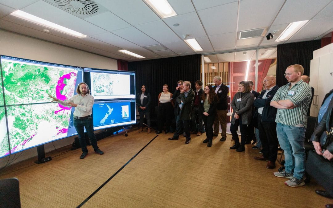
Matt Wilson is a Professor in Spatial Information in the Geospatial Research Institute Toi Hangarau,University of Canterbury, in Christchurch, New Zealand. His main areas of research expertise are inflood risk and surface waterhydrodynamics, using GIS, computational modelling and remote sensingapproaches. He is particularly interested in the use of novel remote sensing methods for providing observations of the water cycle for use in hydrodynamic model parameterisation and verification,and issues of data accuracy and its effect on the uncertainty present in model predictions. Originallyfrom the UK, prior to coming to New Zealand in 2017 he was based in Trinidad & Tobago, where hehelped to establish academic teaching programmesand carried out research in the implications ofclimate change on water resources across the Caribbean
